Treasures of the Digital Archives: Columbia Basin Irrigation Project

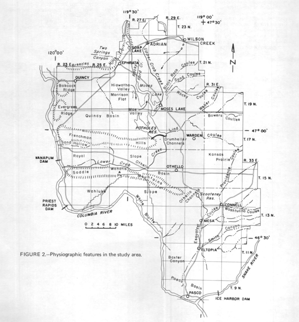
The Columbia Basin Irrigation Project was authorized by President Franklin D. Roosevelt in the 1930s as part of the U.S. Bureau of Reclamation’s effort to water the west. The project area covers over 1 million acres, of which nearly 700,000 are currently supplied with irrigation water from the reservoir (Banks Lake) near Grand Coulee Dam. The Washington State Archives has the following records about the project online at the Digital Archives: 1,391 minutes, ordinances, and resolutions, 145 audio records, 5 maps, 4 photographs, and 1 e-pub. Do a keyword search on “Columbia Basin Irrigation Project” to find them; and watch for the upcoming treasure on Grand Coulee Dam.

